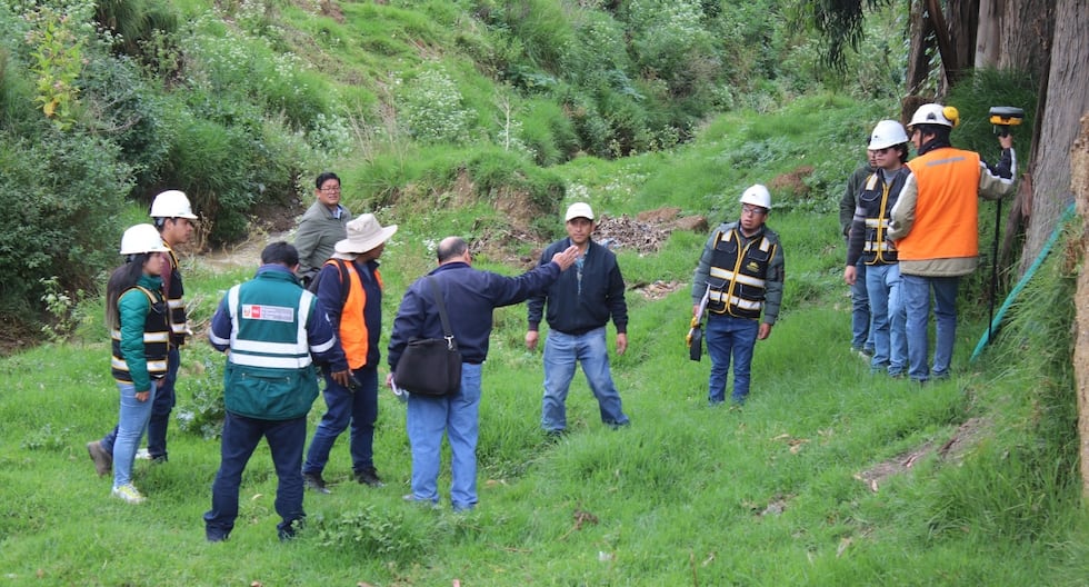
Up to five critical areas were detected in the Huancayo district, before the arrival of the 2024-2025 rains, most of these places are located in the settlements of the riverside strips, ravines and others. Risk. The high areas of Huancayo such as the Santa Isabel Cooperative, Torre Torre, Palian – Uñas, Corona del Fraile and Ocopilla, were identified as critical areas that could require immediate help because they are located on hillsides, ravines, and riverside strips.
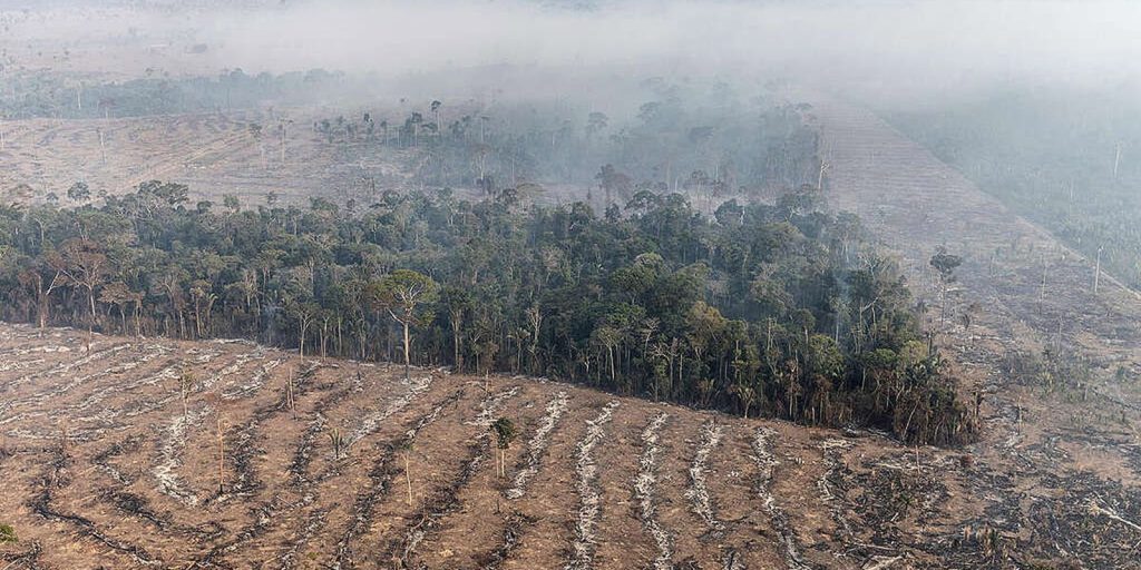
“There are many factors that lead to an emergency. In these areas, the marginal strip has not been respected and in the upper part there is a lot of tree depredation, which generates landslides during the rainy season due to the type of soil we have in Huancayo,” said the head of Risks and Disasters of the Civil Defense Office of the Provincial Municipality of Huancayo, Fernando Orellana Tovar.
As for tributaries such as the Shullcas, Chilca and Florido, an average of 20 linear kilometers have been mapped as a critical area, prone to overflows and flooding, which could occur in the event of intense rainfall such as that recorded during the first months of this year.
The official added that district municipalities must also prepare a contingency plan for risks and disasters for the upcoming rainy season and submit it this month, in order to expedite emergency assistance.
