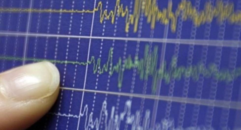
The executive president of the Geophysical Institute of Peru (IGP), Hernando Tavera, explained this Thursday that the earthquake of magnitude 6.8 was registered at 10:58 in the morning in Condorcanqui, Amazonas region, has as its characteristic the shaking of the ground at higher intensity.
In dialogue with Canal N, the official first clarified that this seismic movement had less intensity of ground shaking compared to the tremor reported last year in Sta. María De Nievabut it has generated alarm in the citizens of Amazonas and San Martín.
Meanwhile, he added that the tremor was perceived in other regions of the northern part of the country, but on a smaller scale.
“At the moment, we know that the population has been somewhat alerted and there is no information on damage. It is an earthquake with a depth of 139 kilometers. Probably the shaking level of the ground has only generated alert in the population. Basically the This event has shaken the entire western part of Loreto and the eastern part of Amazonas and San Martín. If we speak perceived we would be thinking of the entire northern region of the country”he pointed.
Tavera detailed why the tremor -occurred 90 kilometers east of Sta. María De Nieva (Condorcanqui)- had as its characteristic a greater intensity in the shaking of the ground. He mentioned that the epicenter zone was in the edge of the jungle.
“Here the soils are basically splintery that have a large component of water due to the rains. This makes the soils, when a seismic event occurs, have a little more amplification in the shaking, which does not occur when there are dry or compact soils”Held.
“The shaking has been less than last year and we hope there will be no major damage. [Las personas de Amazonas y San Martín] have felt the ground shaking more intensely. And the population of Piura felt the shaking [del suelo] with less intensity”he added.
