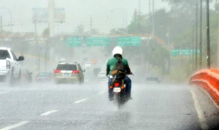
The National Meteorology Office (Onamet) reported today that for tomorrow, Saturday, the occurrence of weak to moderate rains is expected with isolated thunderstorms in morning hours.
These rains will be felt mostly in the southwest of the island, especially in the provinces Pedernales, Barahona, Azua and Peravia.
You could read: José Laluz: «It is an honor that they have expelled me»
Meanwhile, in the afternoon hours, ONAMET assures that rainfall is expected to be more frequent and intense towards the eastern part of the country, La Altagracia, El Seibo, La Romana, Hato Mayor, Monte Plata, San Pedro de Macorís, Santo Domingo, Samaná, Duarteamong other.
This activity will be due to the permanence of a quite humid and unstable environment, product of the trough at various levels of the troposphere.
The country’s meteorological agency stated that it is strictly monitoring an area of low pressure over the southeast of the Caribbean Sea with a 30% probability of becoming a tropical cyclone in the next 48 hours, because the environmental conditions will be favorable in the next 5 days. it will reach a high probability of 70% for its development, in addition, an area of showers and thunderstorms is reported, associated with a trough hundreds of kilometers near Bermuda.
Read: “A constitutional amendment is required”, says Pancho Álvarez about the Ministry of Justice
Conditions
National District: Cloudy to partly cloudy at times with light to moderate rains.
North Santo Domingo: Cloudy to partly cloudy at times with light to moderate rain.
West Santo Domingo: Cloudy to partly cloudy at times with light to moderate rain.
Santo Domingo East: Cloudy to partly cloudy at times with light to moderate rain.
Greater Santo Domingo: Maximum temperature between 31°C and 33°C, minimum between 22°C and 24°C.
