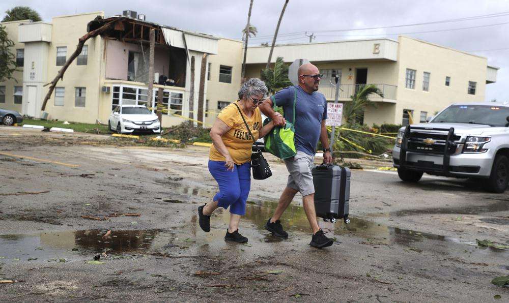
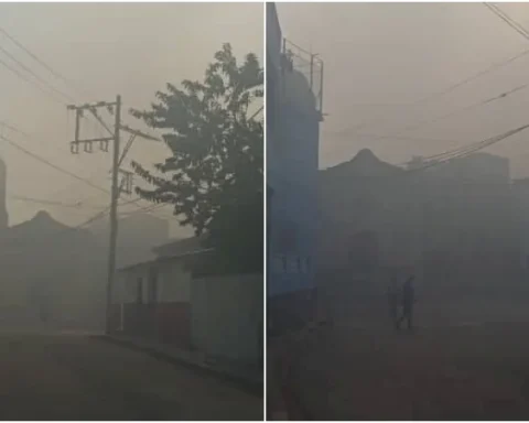
Ian, the mighty hurricane which this week has left destruction in Cuba and southwestern Florida, lost strength in its transit through the center of the southern US state last night and is now a tropical storm, although it still threatens “catastrophic flooding” and notable gusts of wind. .
The US National Hurricane Center (NHC) warned that Ian will produce strong winds and rains and storm surge in areas of the east coast of Florida and in Georgia and the Carolinas.
Here is the latest rainfall forecast for #Ianissued by the Weather Prediction Center https://t.co/3qxGBAr6Y1 pic.twitter.com/7yAb63IqMa
— National Hurricane Center (@NHC_Atlantic) September 29, 2022
This morning, having passed the Orlando area, he was very close to Cape Canaveral, on the east coast of Florida, where the Kennedy Space Center is located. It was moving northeast with maximum sustained winds of 65 miles per hour (100 km / h), according to a report from Eph.
The alert and surveillance orders of the NHC for the passage of Ian continue to be focused on the area of southwest Florida where it impacted on Wednesday with winds of 240 km / h. They now also include areas of the US East Coast.
The damage to the coastline of the Gulf of Mexico, a tourist area and not very densely populated, has yet to be quantified, but television images show that it was significant, especially due to the entrance of the sea into the land due to the storm surge.
The NHC track forecast indicates that the center of what was a powerful Category 4 hurricane will move off the east-central Florida coast today and then approach the South Carolina coast on Friday. It will move further inland across the Carolinas on Friday night and Saturday.
Maximum sustained winds have decreased to near 65 mph (100 km/h) with higher gusts but may intensify to near hurricane force as it approaches the South Carolina coast on Friday.
Tropical-storm-force winds extend outward up to 415 miles (665 km) from the center. The dangers Ian poses remain, including storm surge that can raise sea levels up to 6 feet (1.80 meters) in certain areas of Florida’s west coast.
There is also a risk of tornadoes across east-central and northeast Florida. On Friday off the coast of South Carolina and North Carolina.
The swells generated by Ian are affecting the north coast of Cuba, where it left at least two dead, a general blackout and considerable material damage, the northeast coast of the Yucatan Peninsula (Mexico) and the west coast of Florida. They will spread today along the east coast of Florida, Georgia and South Carolina.
With information from Eph.


