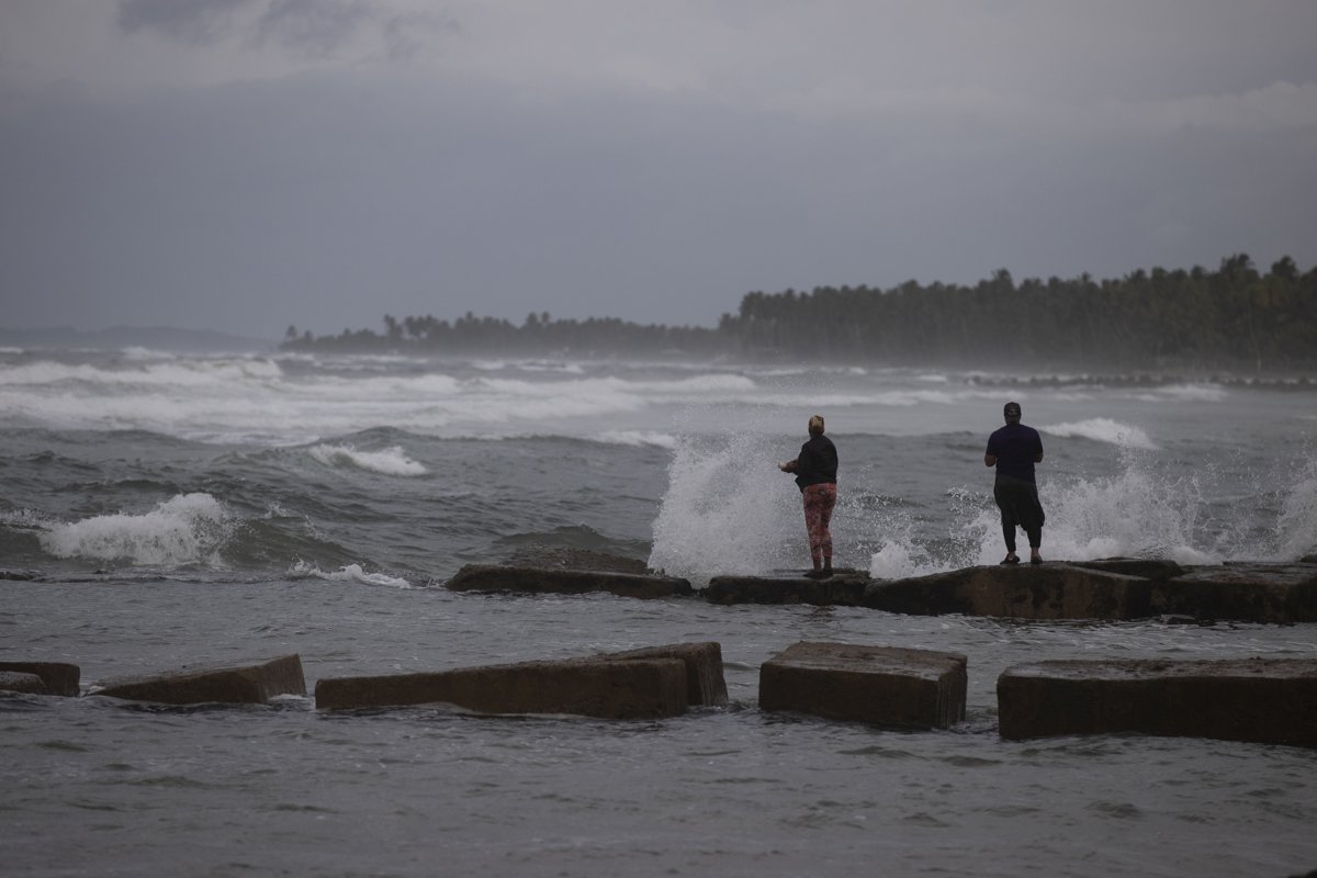
Tropical storm Ian, on its way through the warm waters of the Caribbean Sea, became during the early hours of this Monday the fourth hurricane of the current hurricane season and is advancing at 22 kilometers per hour towards the west of Cuba, according to the latest reports.
The organism presents maximum sustained winds of 120 kilometers per hour, with higher gusts and the minimum central pressure has dropped to 983 hectoPascal, reported the Forecast Center of the Cuban Institute of Meteorology (Insmet).
With a displacement close to the northwest, its center at 05:30 hours was estimated at 18.2 degrees North latitude and 82.0 degrees West longitude, a position that placed it 380 kilometers south-southeast of Carapachibey, Isla de la Juventud and about 515 kilometers southeast of Cape San Antonio, western end of Pinar del Río.
According to the Ismet note, in the next 12 to 24 hours, it will tilt its course towards the north-northwest over very warm waters, a favorable environment for its strengthening. It is expected that in the afternoon it will have category two.
According to Insmet, from this morning the clouds will increase in western Cuba, with rains that can be heavy in some localities, mainly on the Isle of Youth. The external circulation of Ian, in combination with the afternoon instability, can lead to numerous rains in the center of the country during the afternoon and evening hours of this Monday.
As it approaches western Cuba, the speed of the winds will increase to the point of reaching tropical storm force, with speeds between 65 and 80 kilometers per hour and higher gusts in the south of the Isle of Youth and , from the night, in the south of the west. In the early morning in Pinar del Río they would have hurricane force.
Here are the 5 am Monday Key Messages for Hurricane #Ian. Latest information at https://t.co/tW4KeGdBFb pic.twitter.com/536aVhLwl5
— National Hurricane Center (@NHC_Atlantic) September 26, 2022
Apart from the existing hurricane alerts for Grand Cayman and the Cuban provinces of Isla de Juventud, Pinar del Río and Artemisa, remember Eph that a new alert has been issued for the west coast of Florida, where it is estimated that Ian could arrive late on Wednesday.
For its part, Cyclone Gastón has been downgraded to a post-tropical storm and continues its course towards the Atlantic to the west. It is expected to dissipate in the next three days.


