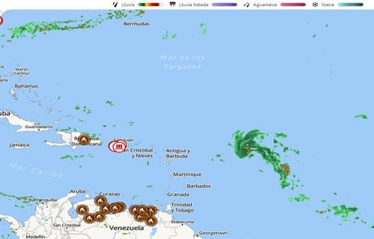
The meteorological authorities continue to monitor this Thursday the area of downpours located hundreds of kilometers east of the Lesser Antilles with a probability of 60% to become a potential tropical cyclone in the next 48 hours.
The National Hurricane Center The United States reported in its bulletin this Thursday that showers and thunderstorms associated with the broad area of low pressure located several hundred miles east of the Leeward Islands (islands of the Lesser Antilles) have gradually increased in your organization over the past day or so.
It indicates that although environmental conditions remain only marginally conducive, only slight further development of the system during the next few days could result in the formation of a tropical depression.
The entity forecasts the disturbance to move slowly west-northwestward into the adjacent waters of the northern Leeward Islands.
Two other systems
In this regard, the National Meteorological Office (Onamet) indicated that in addition to monitoring this system is watching two others.
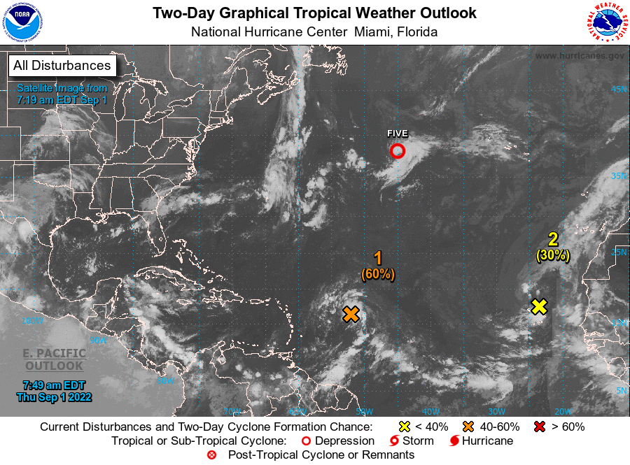
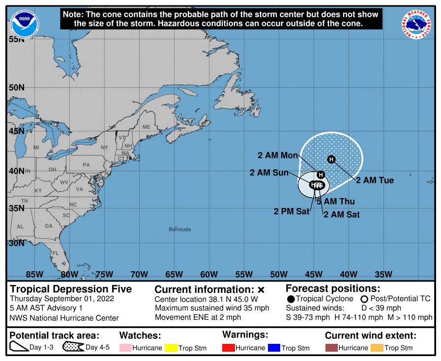
On the one hand, it indicated that “tropical depression No. 5 was formed, about 1,360 kilometers west/southwest of the Azores” and that due to its position, distance and displacement, it does not pose a danger to the Dominican Republic.
held that the other system that it monitors is northeast of the Cape Verde Islands with a 40% probability in the next 48 hours.
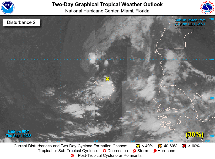
about the latter systemthe National Hurricane Center explains that recent satellite wind data indicates that a large area of low pressure is located just northeast of the Cape Verde Islands.
This Thursday
The Onamet reported that for this Thursday, both the trough over Cuba, as well as the approach of another trough that will be located north of Puerto Rico, both in height, will begin to interact with the daytime heating and the orography of the national territory, mainly generating during the afternoon, increased cloudiness with moderate rainfall locally, accompanied by electrical storms and gusts of wind.
The institution explained that these downpours will be over different provinces of the regions; southeast (including Greater Santo Domingo and the National District), the Cordillera Central and some towns in the border area.
